The Echo Summit trail starts at a trailhead just off Hwy 50 (south side) at the summit, then heads south, joining the Pacific Crest Trail / Tahoe Rim Trail in 0.5 mile. There is plenty of free parking. This trailhead is 8.7 miles from the Hwy 50-Hwy89 intersection at South Lake Tahoe.
There are three possibilities for hikes here:
- Hike to an overlook of South Lake Tahoe and Lake Tahoe (4.0 miles round trip, 1200 feet elevation gain)
- Hike to an overlook of the Upper Truckee valley (14.8 miles round trip, 3133 feet elevation gain)
- Hike to Showers Lake (16.0 miles round trip, 3500 feet elevation gain)
A map and some photos are shown below.
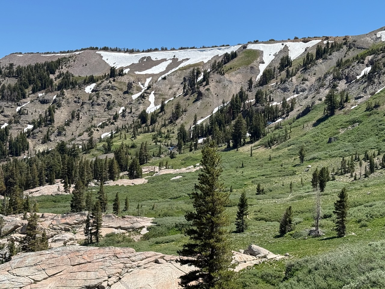
As mentioned above, within 0.5 miles of the trailhead this trail joins the Pacific Crest Trail / Tahoe Rim Trail. After a one mile it rises quickly up the side of a canyon to an overlook of South Lake Tahoe and Lake Tahoe in the background. It then follows very pleasant forest and meadows until finally arriving at a stunning overlook of the Upper Truckee valley. From here the trail drops down to Showers Lake.
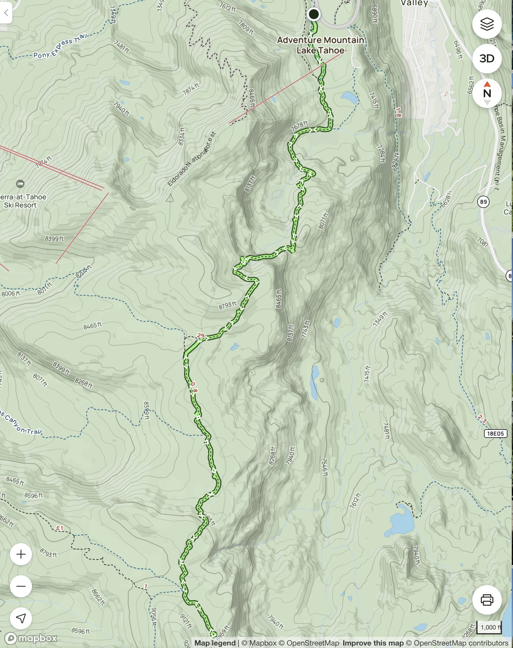
Here is a map of hike (b), to the Upper Truckee valley overlook, before returning:
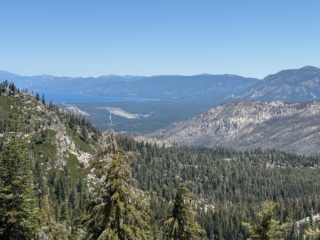
View of South Lake Tahoe, with Lake Tahoe in the background:
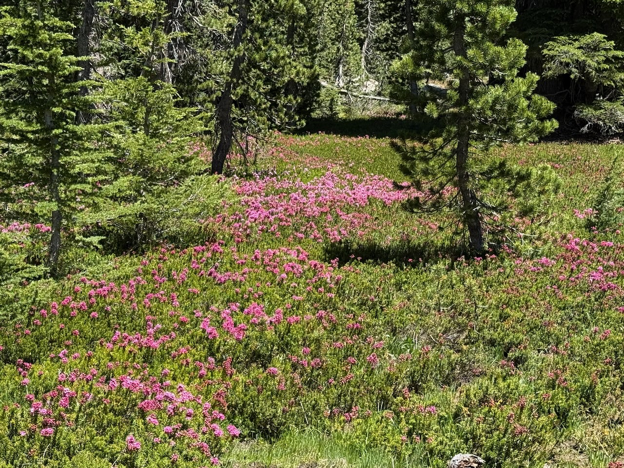
Wildflowers:
Overlook of Upper Truckee valley:
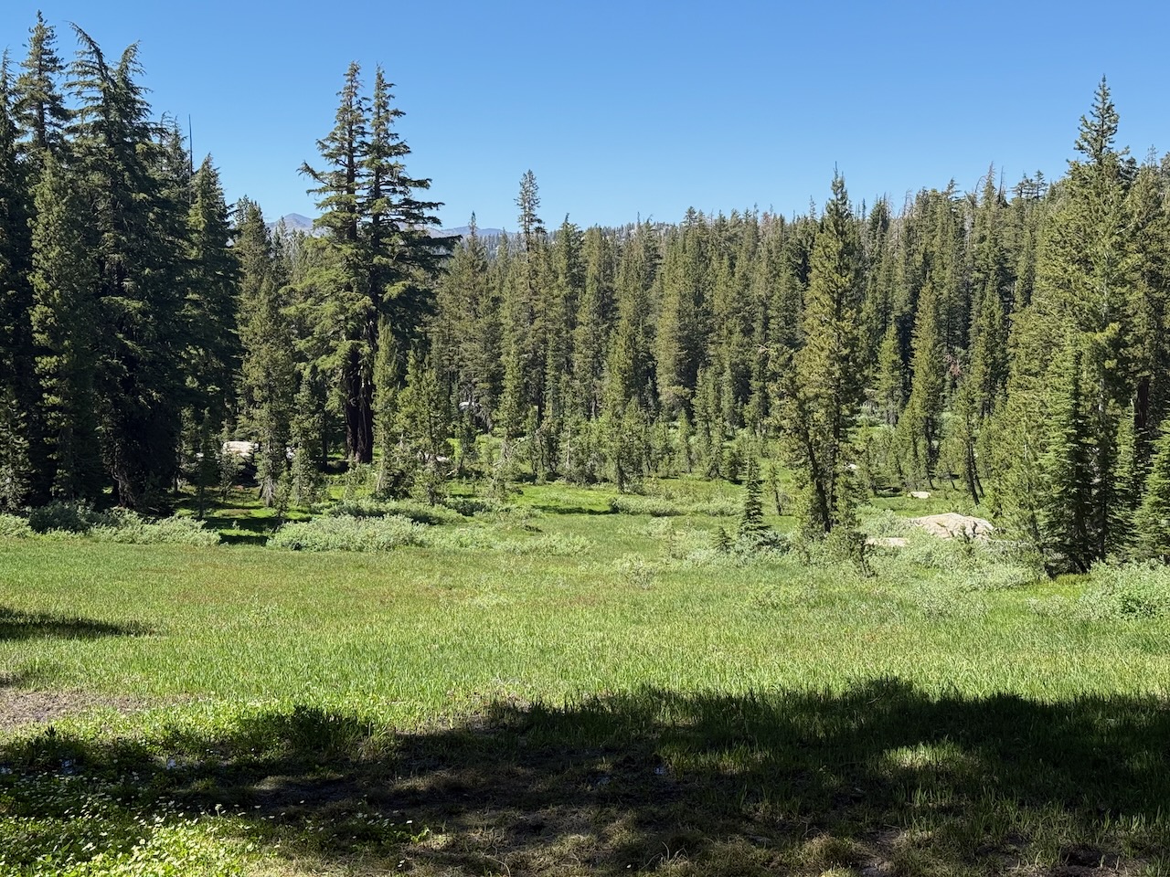
Pleasant clearing:
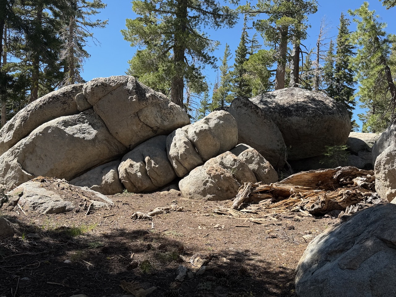
Impressive rock formations: