Updated 4 September 2023
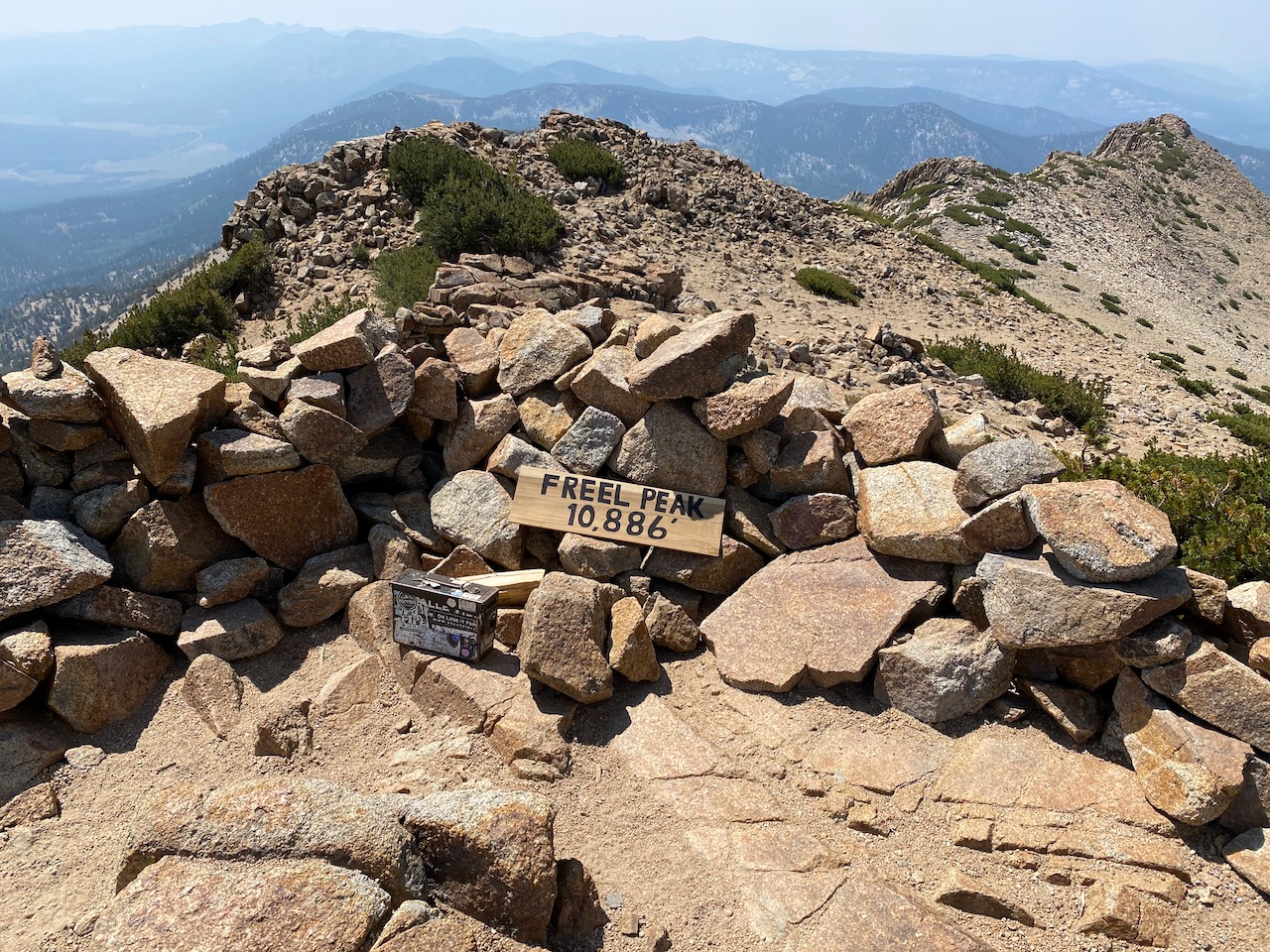
Freel Peak (elev. 10,886 ft) is the highest point in the Tahoe region, approximately 1000 feet higher than Pyramid Peak (9,984 ft) and Mount Tallac (9,738 ft), and also higher than Mount Rose (10,776 ft) on the north end of Lake Tahoe. From the Freel Peak summit, you can view all the way from Round Top on the south to the north end of Lake Tahoe. There are at least two possibilities:
- Hike to the summit of Freel Peak (9.5 miles round trip, 2650 feet elevation gain)
- Hike to Star Lake (10.5 miles round trip, 2400 feet elevation gain)
A map and some photos are shown below.
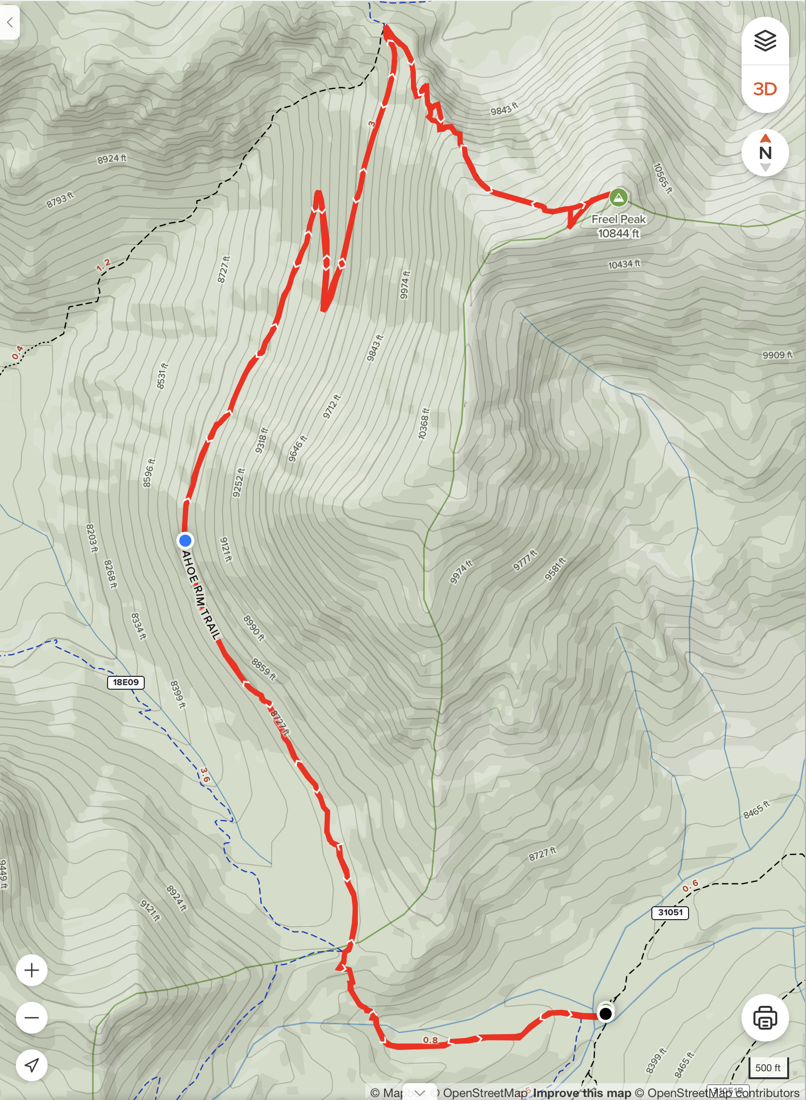
The best trailhead for Freel Peak is to take a dirt road (called “Willow Creek Road” or “31051”), which intersects Hwy 89 approximately 0.75 miles east of the Luther Pass summit, at N38 47.478 W119 55.969. (SUV and/or 4-wheel drive highly recommended.) From here, drive approximately 3.2 miles north to the Freel Peak trailhead, which is at N38 49.802 W119 54.048. Note that there is NO SIGN either at the Willow Creek Road turnoff or at the trailhead itself. Bring a GPS receiver!
It is also possible reach Freel Peak from a trailhead in South Lake Tahoe at the end of Fountain Place Road, which is an extension of Oneidas Street, off Pioneer Trail. From here hike approximately one mile, then head left to continue up the canyon, meeting the main trail at the start of the final leg of the Freel Peak trail. This hike is 7.0 miles, with 3,045 total elevation gain. In addition to significantly more elevation gain, the trail is often covered in gravel, making hiking more difficult. In addition, the Caldor fire burned many trees on this route. So this trail is not recommended.
Here is a map of the hike from the trailhead on Willow Creek Road:
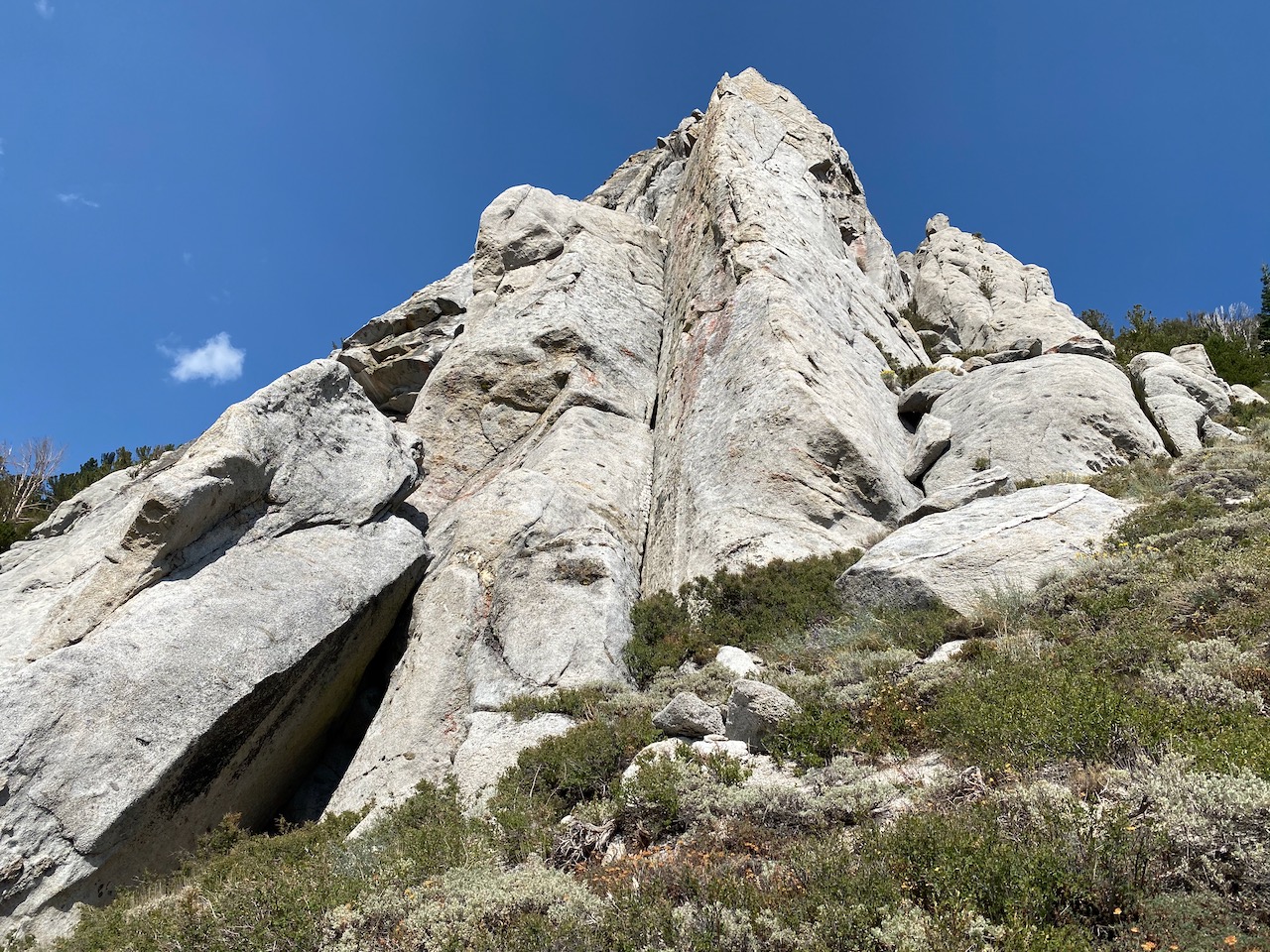
Here are some boulders along the way:
Here is the summit: