Updated 11 June 2026
You haven’t lived until you have hiked to the summit of Mt. Tallac (el. 9739 feet), which stands magnificently over the south side of Lake Tahoe. Yet the trailhead is only a short drive or bike ride from South Lake Tahoe. There are several possibilities, as described below:
- Hike to ridge overlooking Fallen Leaf Lake (2.5 miles round trip, 350 feet elevation gain)
- Hike to Cathedral Lake (5.3 miles round trip, 1263 feet elevation gain)
- Hike to the Tallac summit (10.2 miles round trip, 3245 feet elevation gain)
A map and some photos are shown below.
The trail first ascends to a ridge offering breathtaking views of Fallen Leaf Lake, with Lake Tahoe in the background, and an impressive view of Mt Tallac itself in the other direction. Then the trail rises through lovely forest, passes two small lakes, ascends through a boulder field (which some consider the most difficult part of the hike) and continues on a medium-steep climb to the summit.
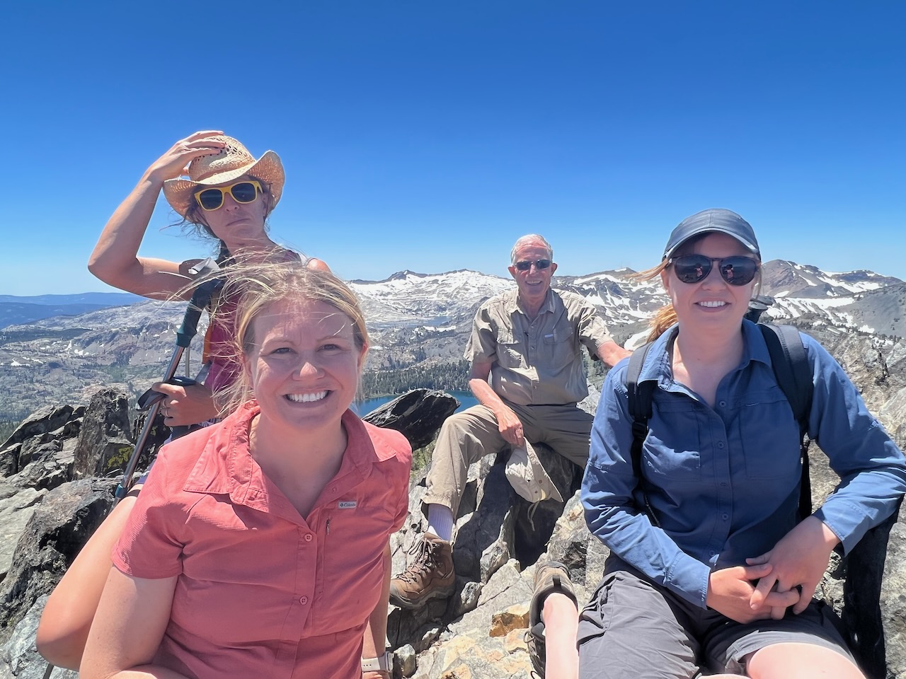
The view from the summit is nothing short of stunning — Fallen Leaf Lake, Lake Tahoe, South Lake Tahoe and Freel Peak in the southeasterly direction, and Gilmore Lake, Suzie Lake, Aloha Lake and Pyramid Peak in the other direction. See photos below.
However, be advised that this is not a casual afternoon hike with flip-flops: It is a relatively rocky trail with 3245 feet total elevation gain, and the summit elevation is 9739 feet. Thus hiking boots, poles and a knapsack are strongly recommended. During any month other than late summer, be prepared to encounter patches of snow. Also, during the summer months you must register at the trailhead and carry a wilderness permit (free).
Sneaky Trick: Parking is very limited at the trailhead. An alternate parking spot that virtually no one knows about, which is only about 100 yards from the main trailhead, is on Cathedral Road. To reach this spot from Hwy 89, turn south at an intersection 150 yards northwest of the bridge crossing Taylor Creek, at N38 56.018 W120 03.449 (this is Cathedral Road, although there is no sign here), and drive south for approximately one mile to the alternate trailhead, which is at N38 55.232 W120 04.014 (there is no sign here either — use a GPS). A short trail leads up the hill to join the main trail, just a few yards from the main trailhead.
Note, however, that during the winter months (approx. Nov 1 through approx. May 1), both roads to the trailhead are blocked; you must park near Hwy 89 and walk approximately one mile to the trailhead.
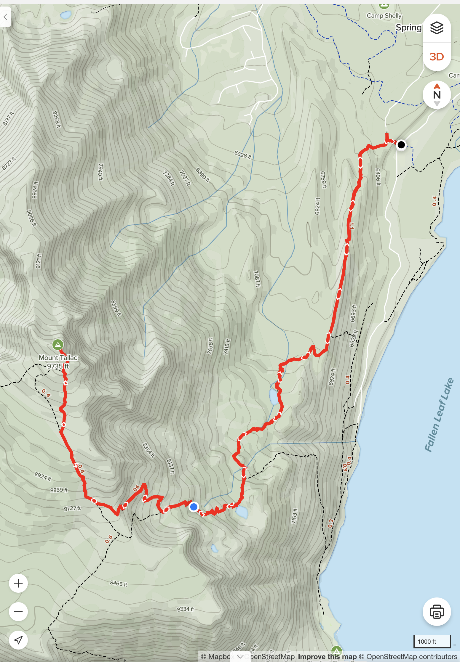
Here is a map of the hike, from the alternate trailhead on Cathedral Road to the summit and back:
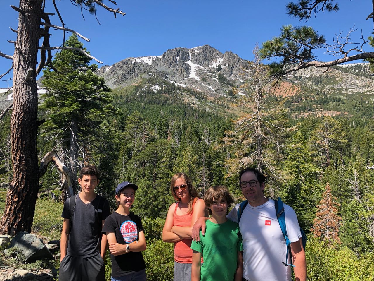
Here is a photo of the summit from the ridge above Fallen Leaf Lake, roughly one mile up from the trailhead:
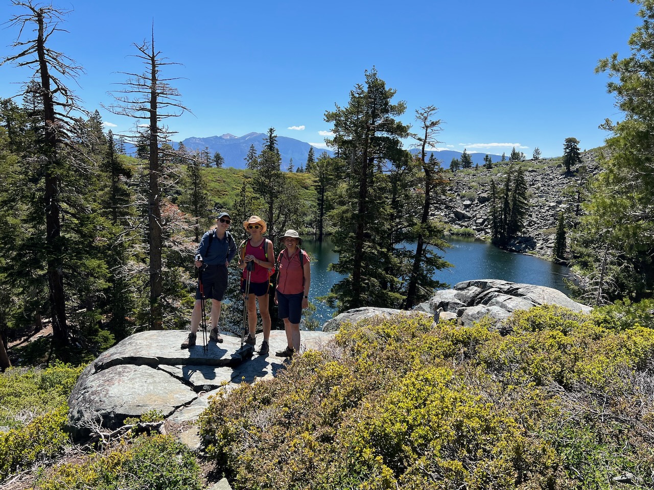
Here is a view of Cathedral Lake, along the trail:
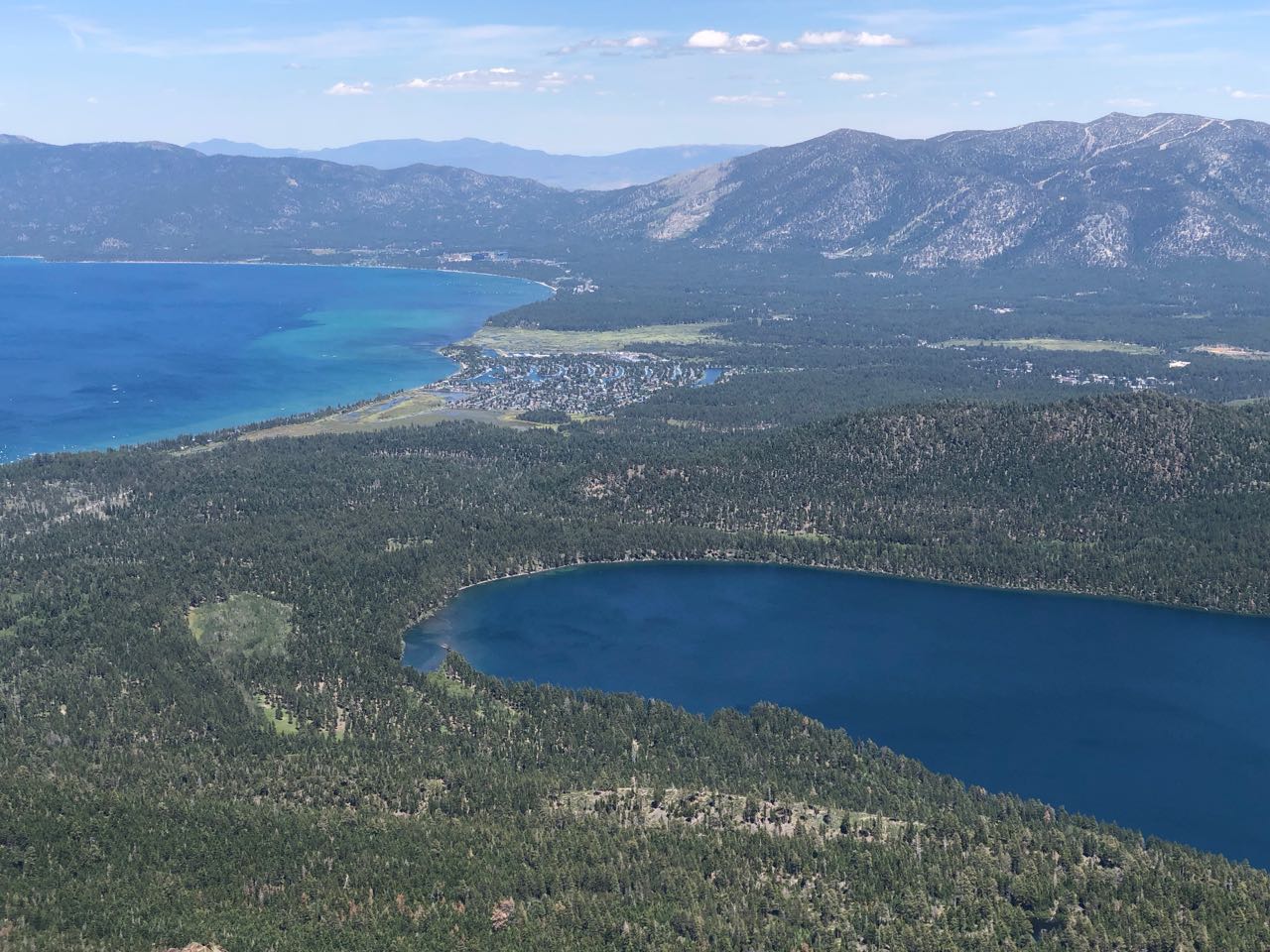
Here is a view from the Tallac summit, looking east to Lake Tahoe and South Lake Tahoe. Fallen Leaf Lake is in the foreground:
Here is a view from the Tallac summit, looking west to the Desolation Wilderness:
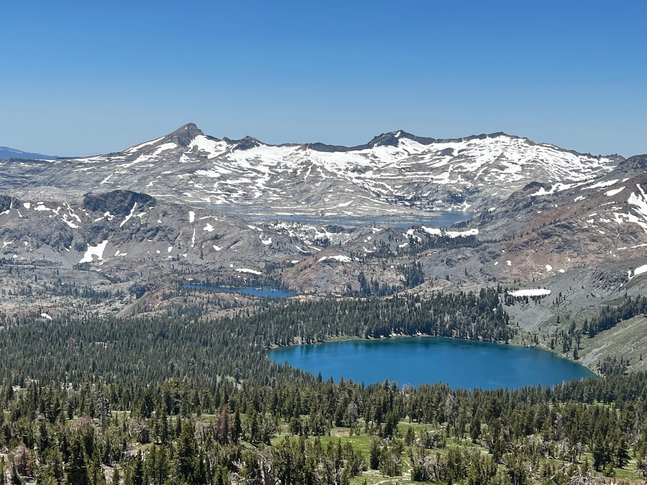
This photo, taken at the summit, shows (in order from bottom) Gilmore Lake, Susie Lake, Aloha Lake and Pyramid Peak: