Updated 29 July 2025
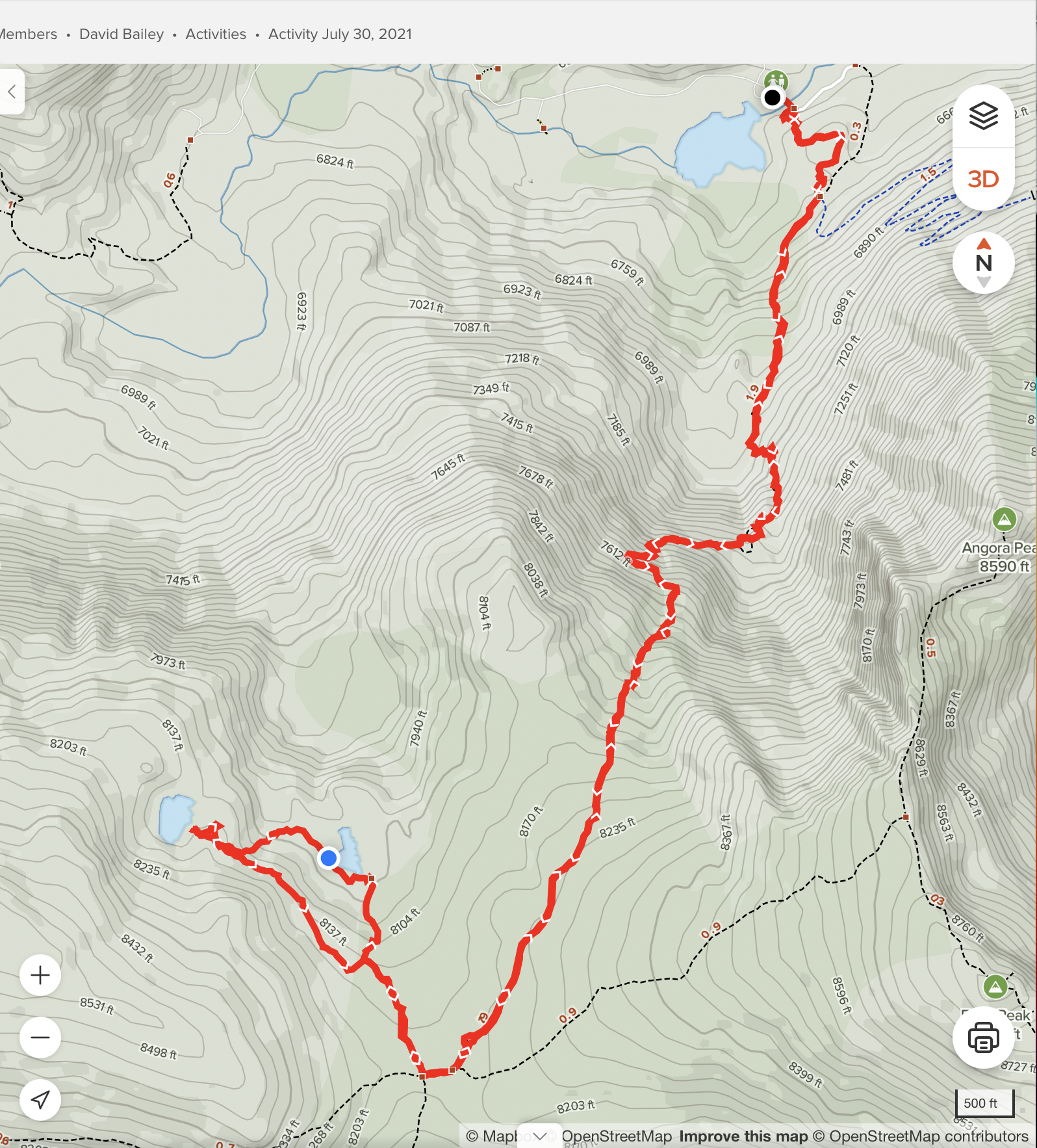
The Tamarack trail, starts from the Lily Lake trailhead (see the Glen Alpine trail), then goes steeply up the nearby valley, eventually ending at Tamarack Lake, which is along the Pacific Crest Trail. Near the summit of the hike, one can take a branch trail to Triangle Lake, and from there approximately 0.4 miles cross-country to Lost Lake (or hike directly cross-country to Lost Lake, as described below). Bring a GPS! The round trip hike is 6.8 miles, with 2041 feet total elevation gain. A map and some photos are shown below.
There is a fair amount of parking at the Lily Lake trailhead, but on busy days, or if you do not arrive early, you may need to park along the narrow road. A Desolation Wilderness day use permit (free) must be completed at the trailhead, and you must keep the top portion with you.
However, note that the Tamarack trail is NOT an easy hike: the trail goes up steeply through a creek bed at several spots, out onto some rock cliffs twice, and up through brush more than once. It is sometimes difficult to ascertain where the real trail is at times. It helps greatly to have a GPS to keep on the trail. Perhaps the first time, go with someone who has already hiked this trail?
The first part of the hike is on the Lily Lake trail, which starts at the southwestern corner of the bridge at the Lily Lake trailhead, at N38 52.592 W 120 04.764. At a trail intersection at N38 52.478 W120 04.712, turn right on the Tamarack trail. After reaching the summit, turn right at a trail junction at N38 51.288 W120 05.437, which leads to Triangle Lake. To reach Lost Lake, leave the Triangle Lake trail at N38 51.421 W120 05.518, then hike cross-country to Lost Lake.
Here is a map of a hike from Lily Lake to Triangle Lake, then to Lost Lake and back:
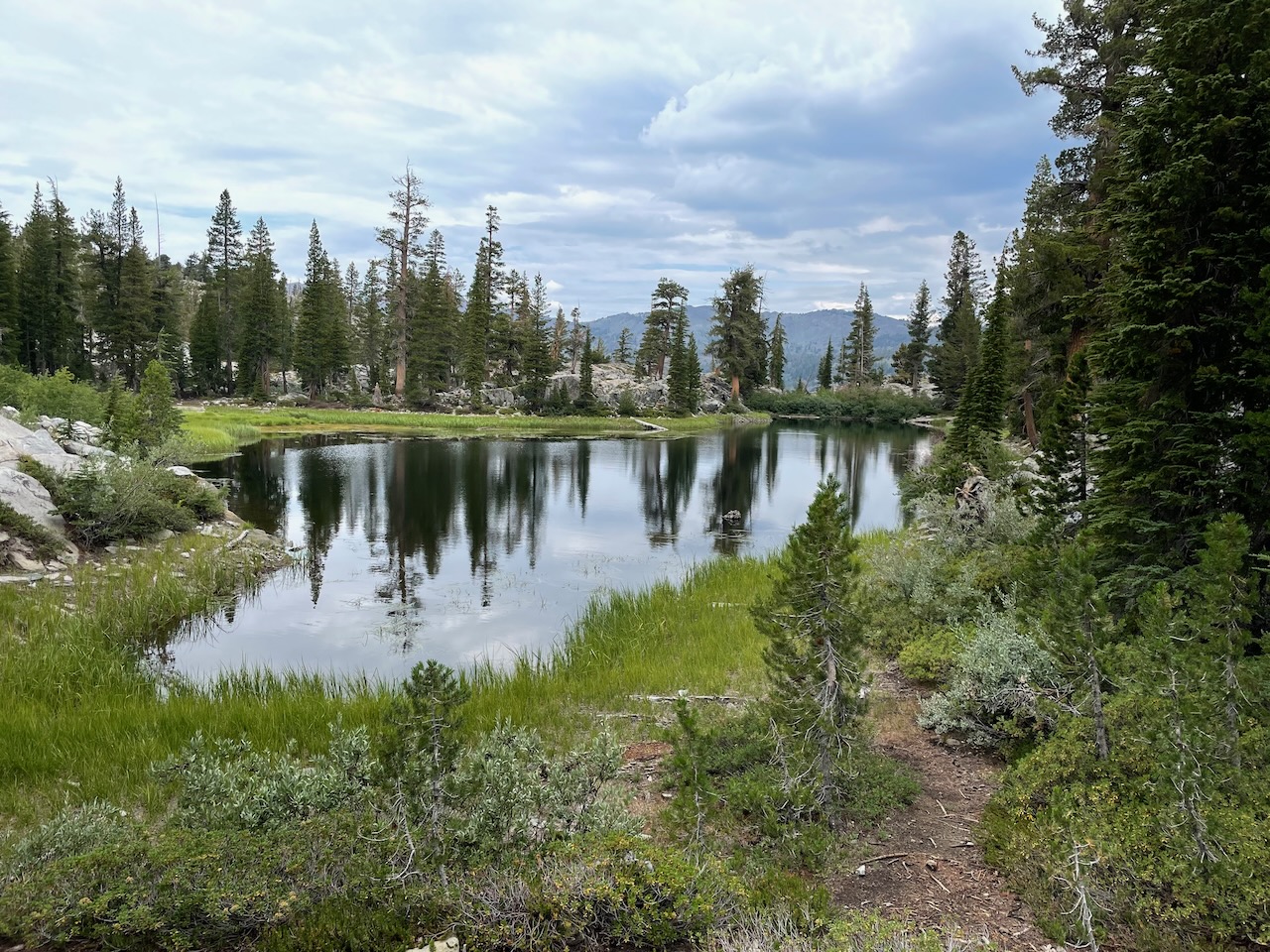
This is Triangle Lake:
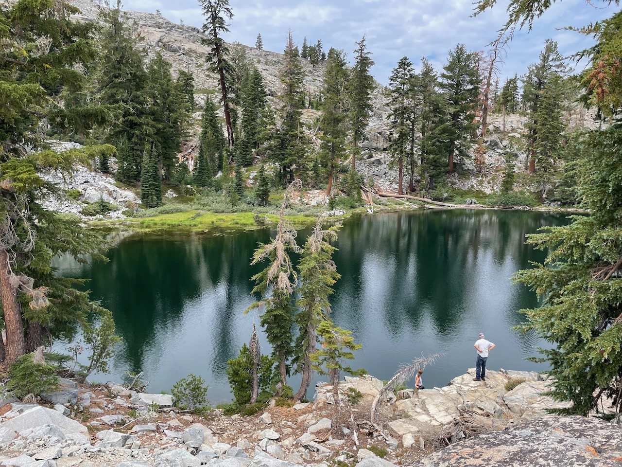
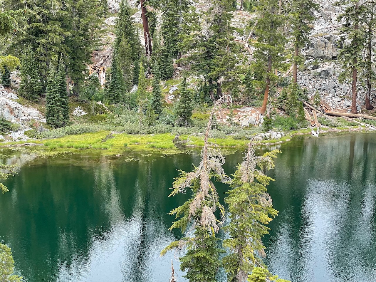
These two photos are Lost Lake: