Updated 21 September 2024
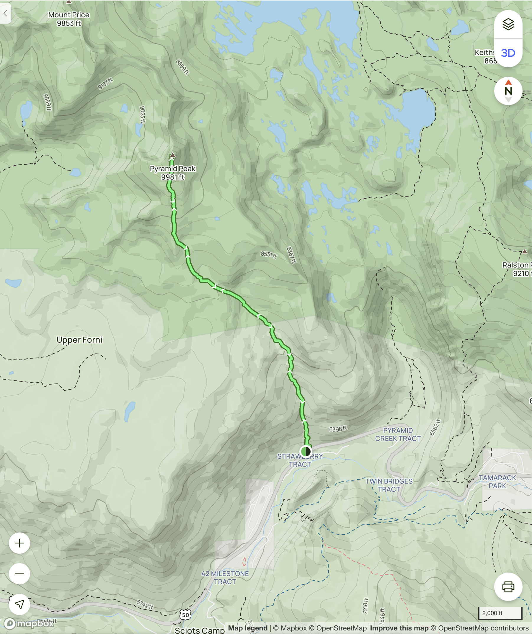
The trail to the summit of Pyramid Peak (elev. 9981 feet) is arguably the most arduous hike in the south Tahoe area. Although the round trip distance is modest, the elevation gain is easily the highest among the trails catalogued in this collection:
- Hike to the Pyramid Peak summit (7.0 miles round trip, 4030 feet elevation gain)
A map and some photos are shown below.
The first mile is very steep, following Rocky Canyon Creek through a section of forest burned in the Caldor fire. The trail then levels out somewhat, before becoming very steep and rocky for the last half mile, with scrambling required for the last 300 yards. This is a very challenging hike; it should only be attempted by very fit and experienced hikers. Hiking poles and plenty of water are highly recommended.
There is no formal trailhead. The best parking spot is on the south side of Hwy 50, near an overhead electric sign at N38 48.465 W120 08.214. From here, cross Hwy 50 when safe, then hike roughly 150 yards to the start of the trail at N38 48.517 W120 08.148.
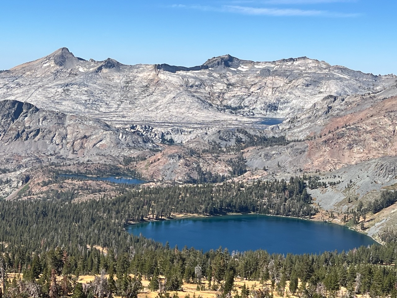
Here is a map of the hike (from AllTrails.com) and one photo:
Here is a photo of Pyramid Peak (upper left), viewed from the summit of Mt Tallac: