Updated 7 December 2023
The Angora Ridge Trail is one of the most easily accessible trails in the South Tahoe area — only about two miles southwest of the “Y” intersection in South Lake Tahoe. The full round trip hiking distance is only 4.2 miles, with a modest 679 feet total elevation gain. Along the way are pleasant forests and some incredible large boulders. From the top, you can hike 100 yards to a very nice overlook of South Lake Tahoe and Lake Tahoe to the northeast, and Pyramid Peak to the southwest. A map and some photos are shown below.
There are two different trailheads that one can use:
- The parking lot at Sawmill Pond, which is near the intersection of Lake Tahoe Blvd and Sawmill Road, at N38 53.251 W120 01.569; from here, cross Lake Tahoe Blvd on the bicycle path; turn left on a dirt road after about 200 yards, at N38 53.399 W120 01.661; then turn right on a trail after about 200 yards, at N38 53.441 W120 01.743.
- A nearby trailhead on Tahoe Mountain Road, at the intersection with Forest Mountain Drive, at N38 53.625 W120 01.842.
From any of these trailheads, hike on dirt paths towards the point N38 53.653 W120 01.623. Here is there is a trail junction, which is actually the starting point of a loop — taking either branch returns to this spot.
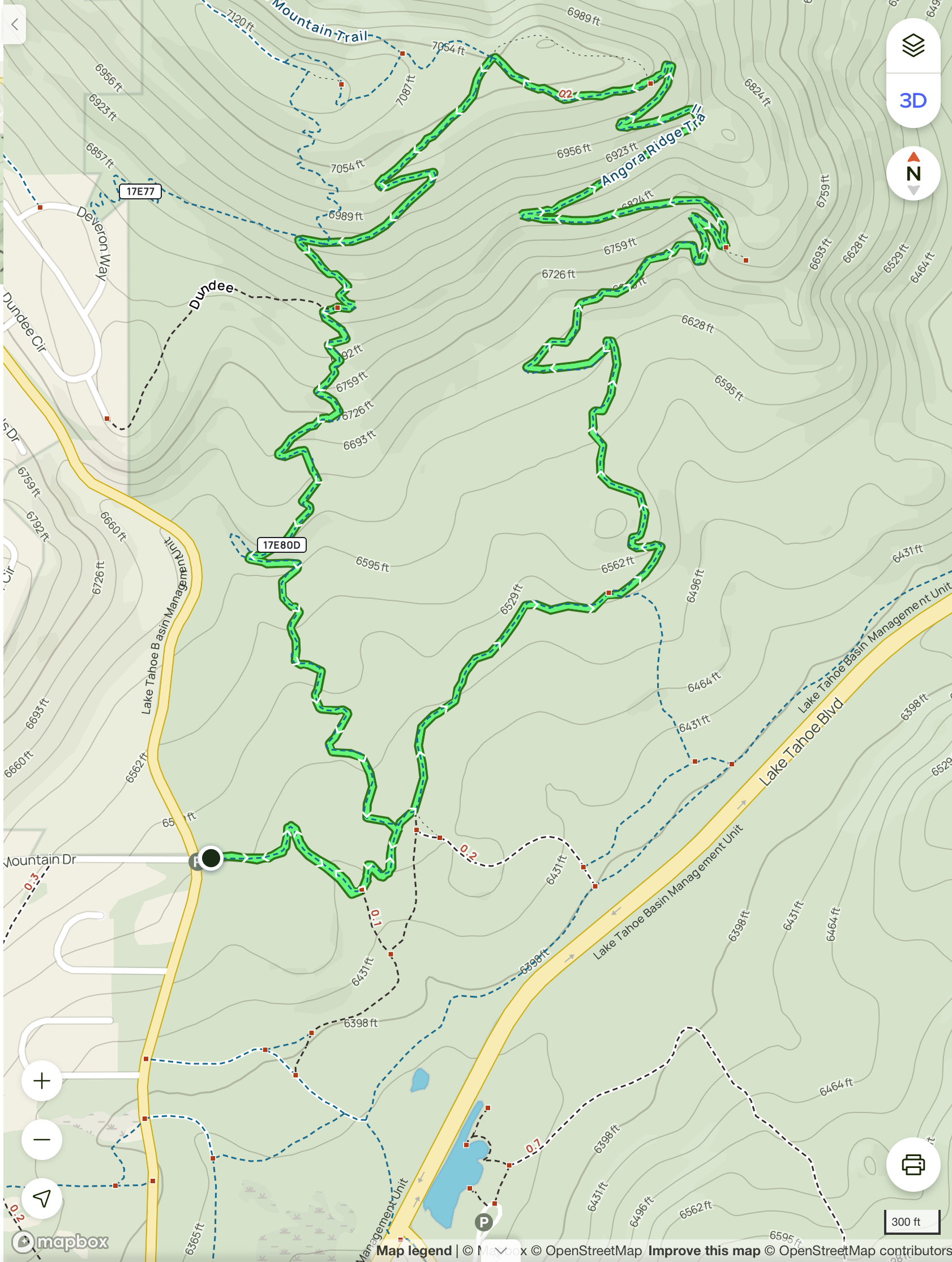
Here is a map of a hike from the Tahoe Mountain Road trailhead, including the loop described above:
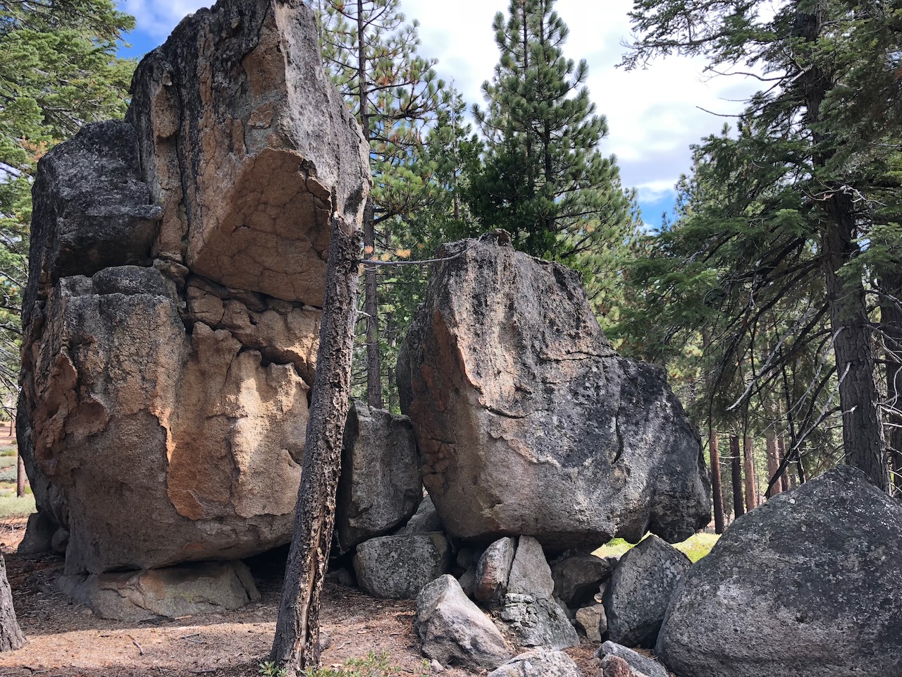
Here are some of the many interesting boulder formations along the way:
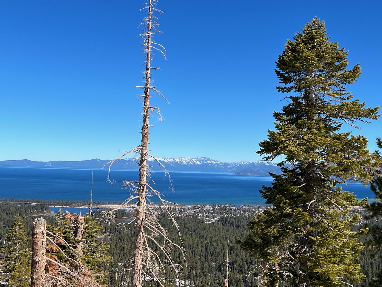
Here is the view from the summit, looking to South Lake Tahoe and Lake Tahoe:
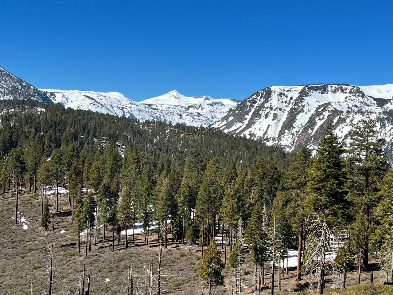
Here is a view to the west, with Pyramid Peak in the background: