Updated 30 December 2023
This geocache marks a trail that is NOT on many online maps (not on the geocaching.com maps, for instance), but is a convenient route to reach Lower and Upper Angora Lakes from South Lake Tahoe during the winter months when the main access road is closed, or whenever one wishes to do a scenic hike close to the city. Along the way, the trail features a splendid view of the North Upper Truckee area, with Freel Peak in the distance. See photos below.
There are two possible trailheads that one can use:
- The Seneca Drive trailhead, at N 38°52.003 W 120°02.501.
- On Mule Deer Circle, at N38 52.966 W120 02.463.
Whichever trailhead you select, hike to N38°52.397 W120°02.895, which is where the trail starts uphill to Angora Lakes.
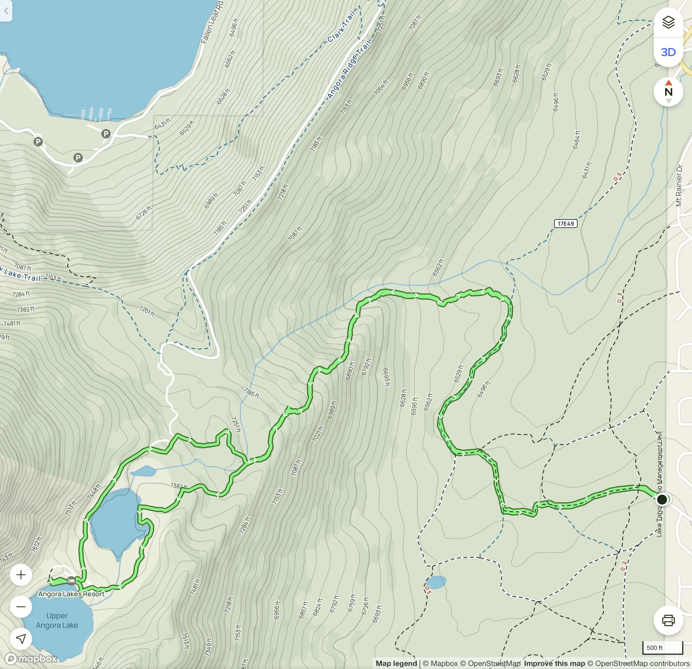
Here is a map of the hike from the Seneca Drive trailhead, then to both Lower and Upper Angora Lakes, and back (although note that the loop on the map below includes a cross-country segment on the return that is not recommended).
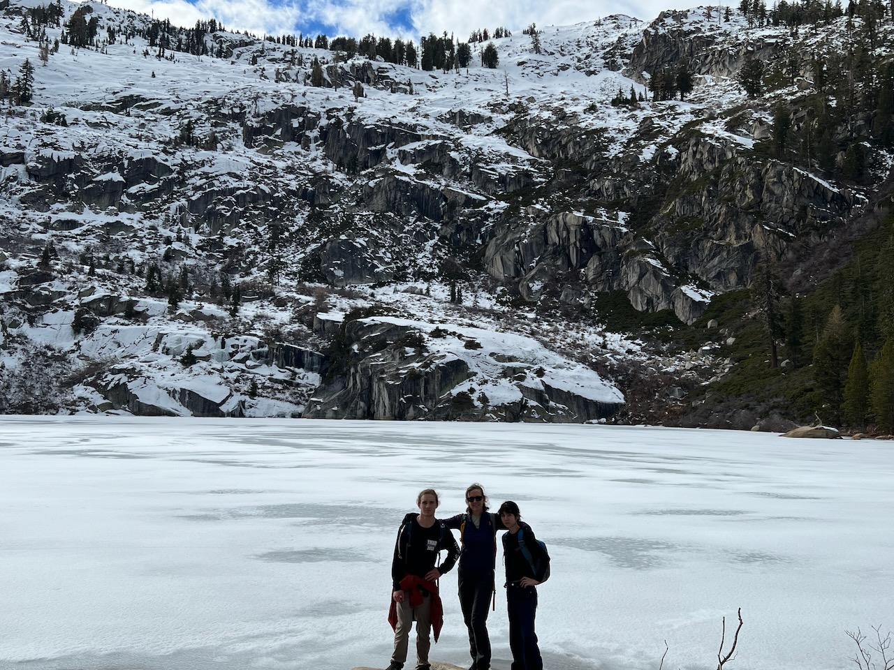
Here is a photo of Upper Angora Lake in winter:
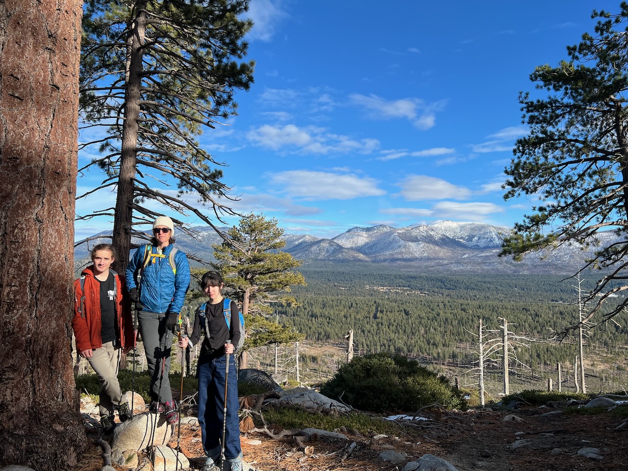
Here is a photo of a very pleasant spot with a view of Freel Peak in the distance: