Right smack in the middle of the East Bay area is a remarkable 13-mile-long trail through rugged, pristine country, known as the Ramage Peak Trail. It starts in Castro Valley near Lake Chabot, heads north and finally finishes at the end of Bollinger Canyon Road in San Ramon.
This morning Mom was kind enough to drive me to the Castro Valley trailhead, and I hiked the trail, finishing this afternoon: 13 miles long, with 3940 feet total elevation gain along the way. I did not see *any* other person until a few hundred yards before the end of the trail. Here are some photos.
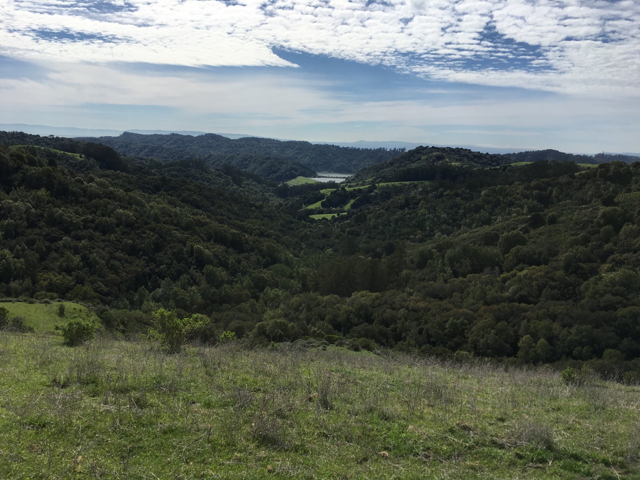
About 1/3 done — reservoir in background.
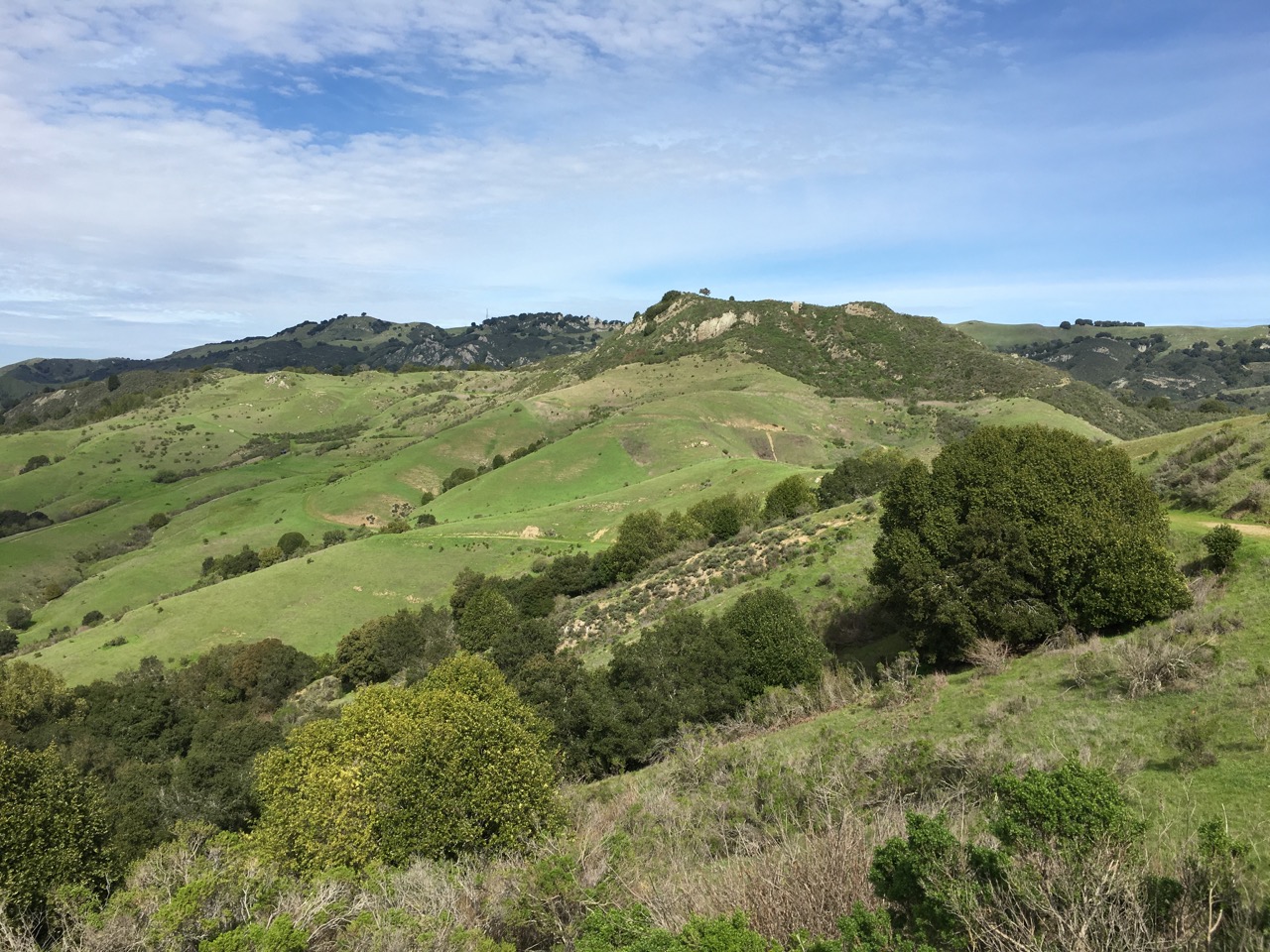
Ramage Peak — not very high, but the country is rugged, with much up-and-down hiking.
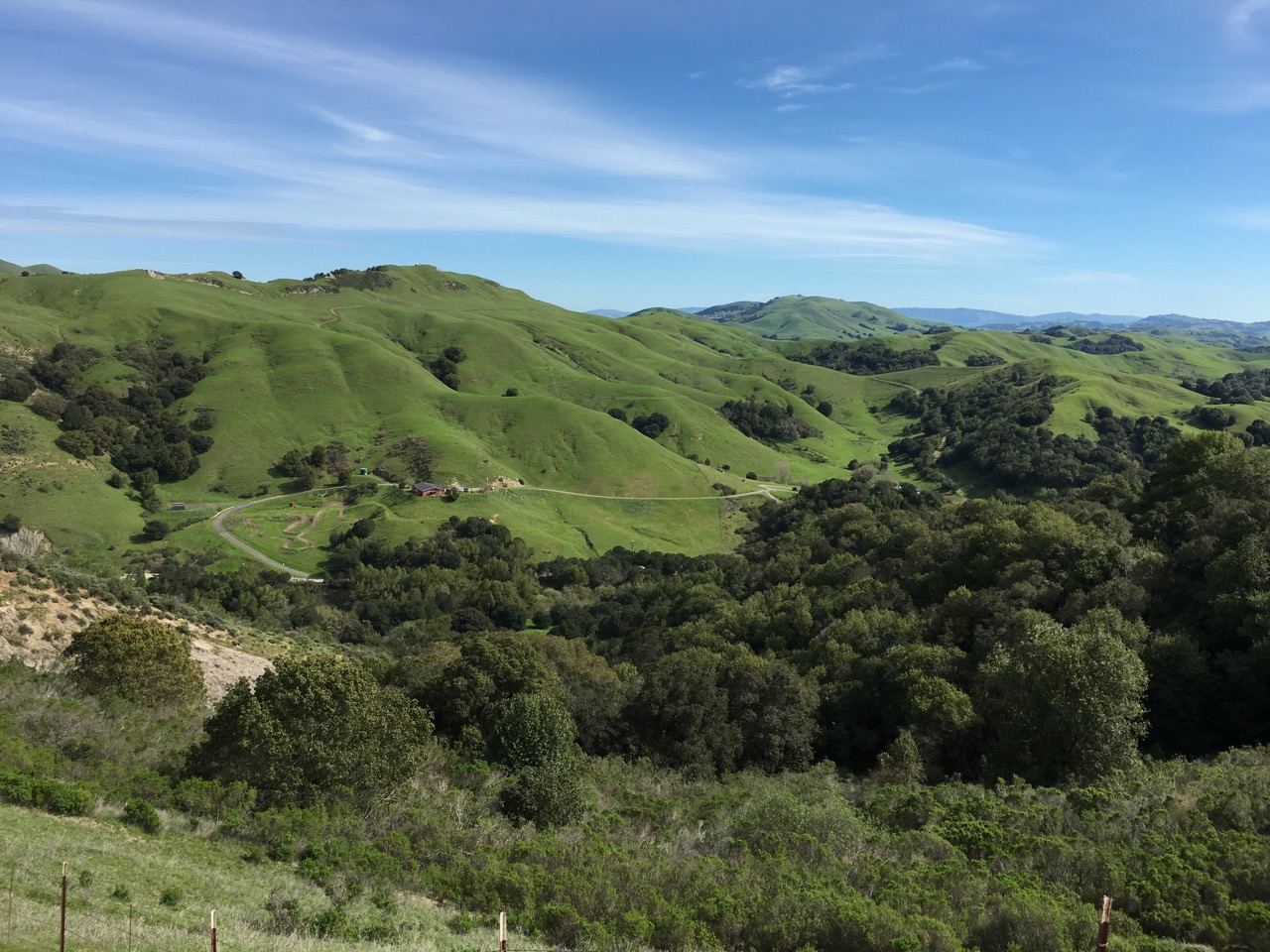
Does anyone want this cute ranch house?
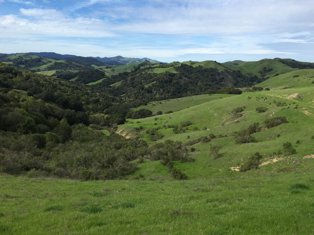
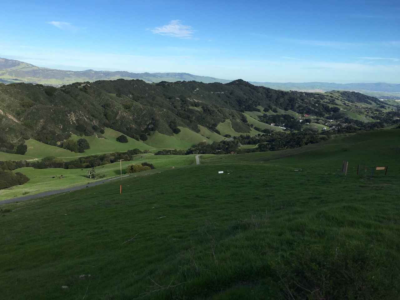
About halfway, looking north.
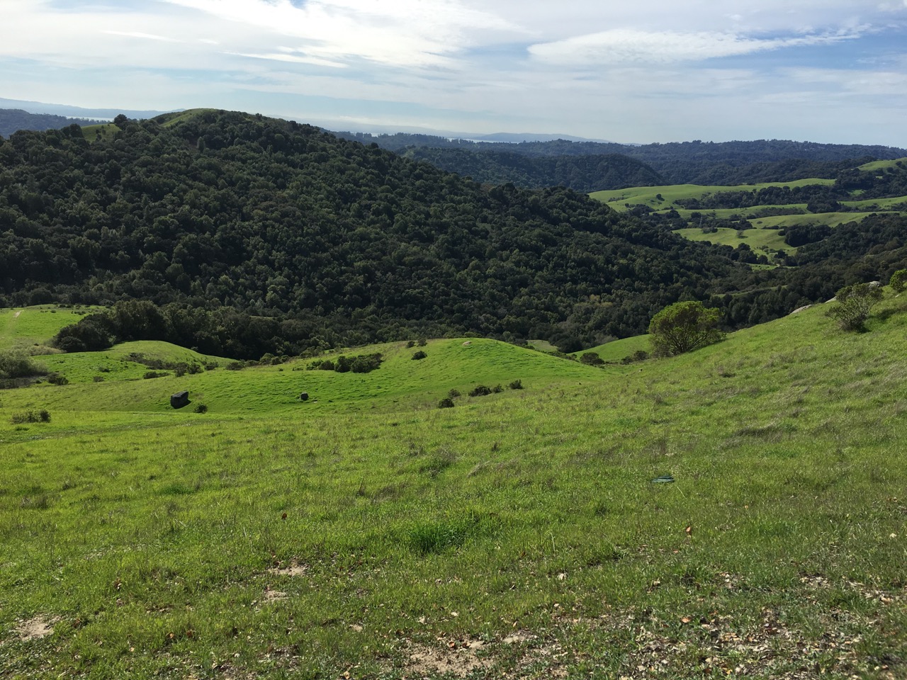
SF Bay is in the background.
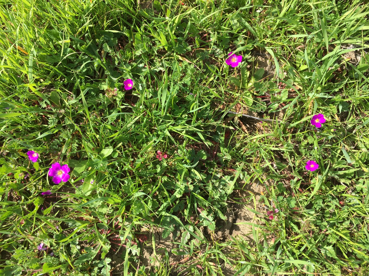
Gorgeous purple wildflowers.
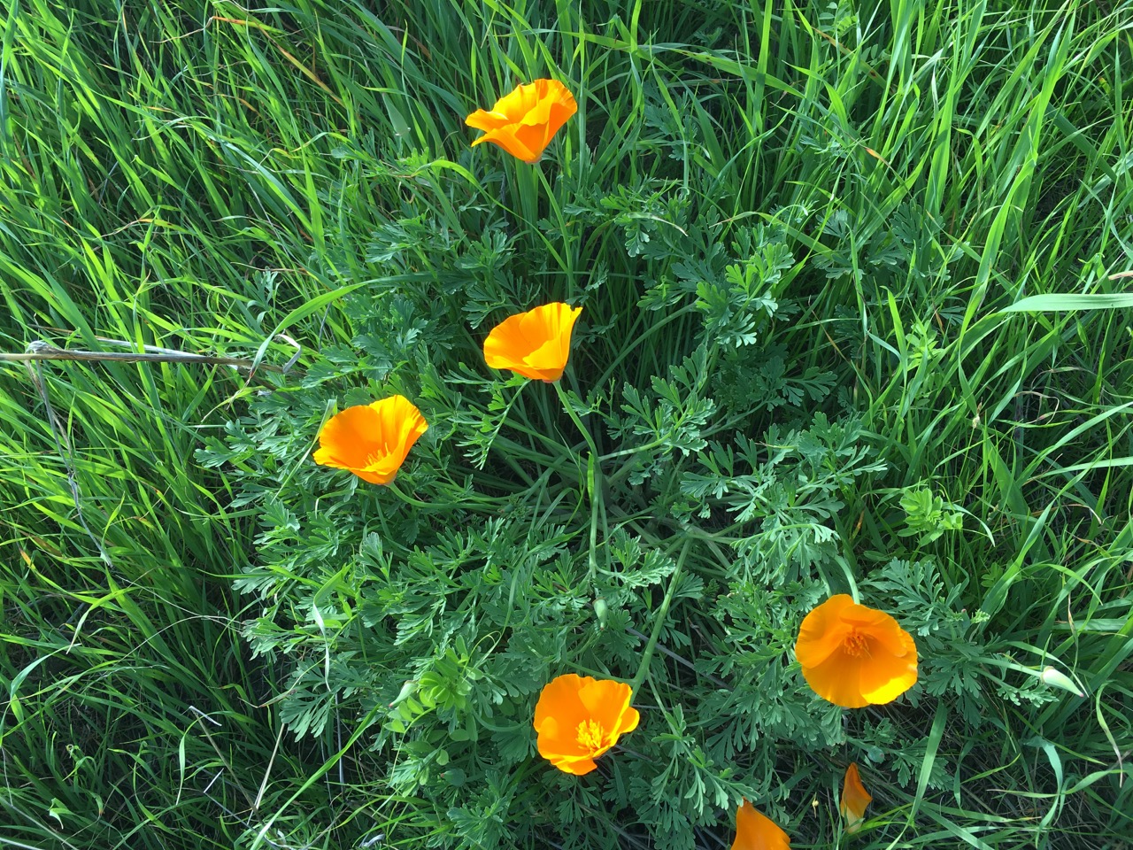
California poppies — are we in Oz?
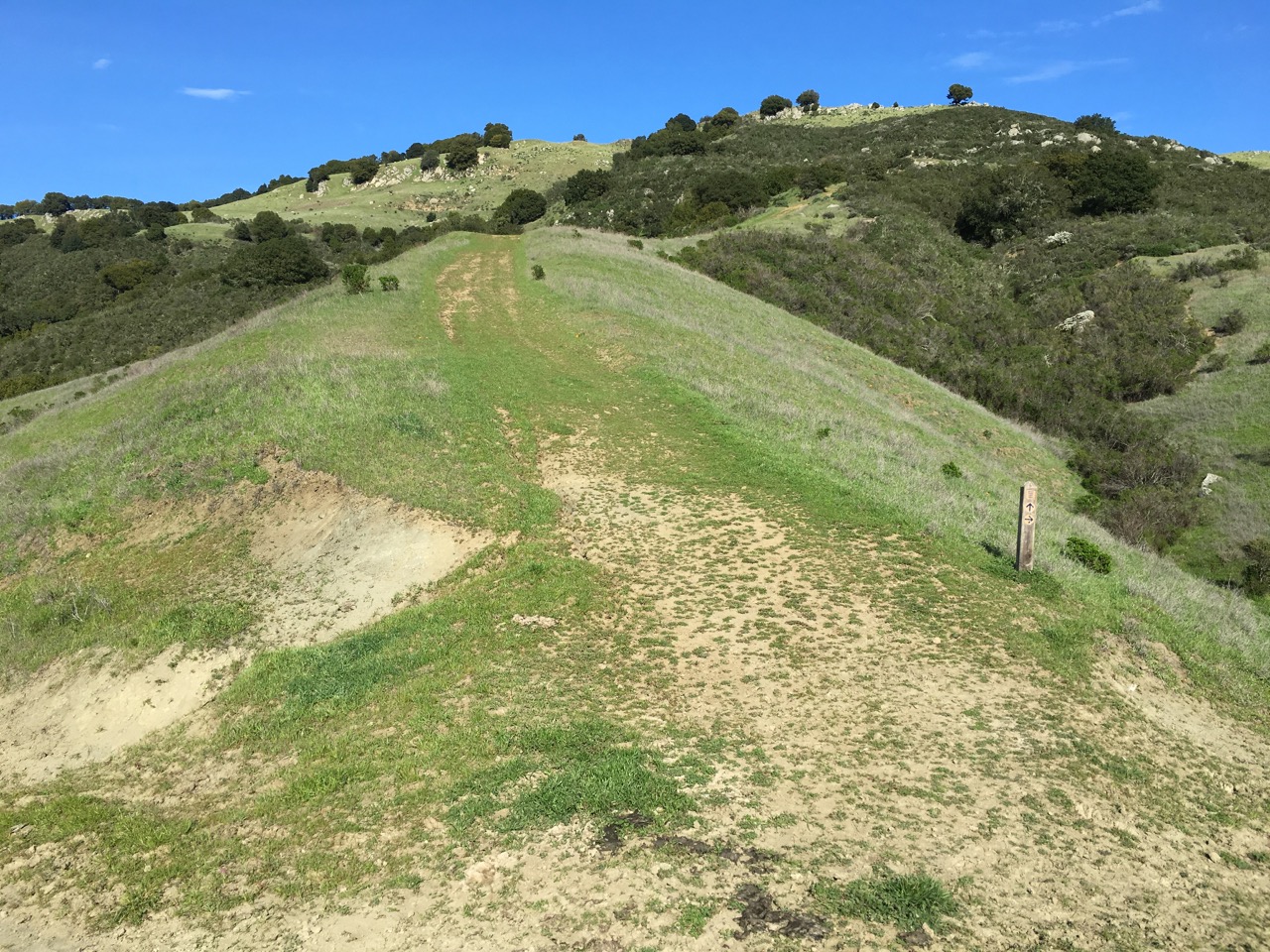
Yikes! After four hours of hard hiking, the trail heads straight up a steep hill.
There is the the ending trailhead below. Mom was waiting for me!